Kamaris[i] is a village in Kotayk marz (province) with a population of about 2,000, according to figures from 2001. There are reportedly Bronze Age tombs in the vicinity. Atop the hill, past the old and new cemeteries, are scant remains of an old Persian settlement.
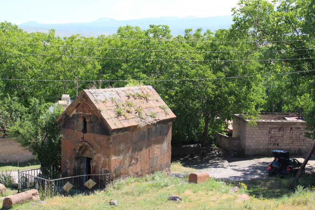
Adjacent to the old cemetery is the small Surb Astvatsatsin church, rebuilt in 1258, but on a much older foundation, with extensive inscriptions in “coded” classical Armenian. This form of script often has multiple letters inscribed atop each other, making deciphering them difficult for nonspecialists. According to an inscription on the church, its construction or renovation was financed by a wealthy woman from the village. Villagers indicated that during Tamerlane’s[ii] invasion of the region, he apparently viewed Surb Astvatsatsin with favor and thus decided not to destroy it.
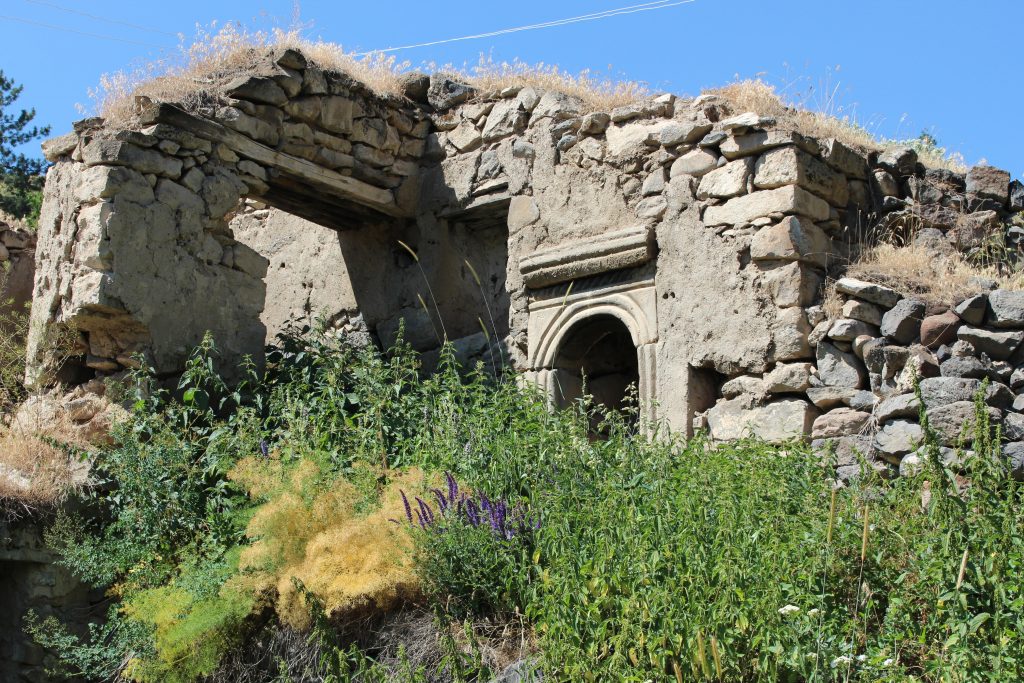
Nearby is a small crudely built chapel, recently constructed, but built on the foundation of a holy site probably from the 12-14th centuries. Within the chapel are remnants of much older stonework.
Nearby is the remnant of what once was a beautiful 18th century home built in classic Armenian architectural style by a wealthy family. The most recent owner of the house, the granddaughter of the original owners, did not want to live there. An Armenian film producer, who had produced an award-winning film in that house, offered to buy the house and preserve it as a museum while providing a home for the granddaughter in Yerevan. The granddaughter refused, abandoning the house, which was then sold off piece by piece as construction material. Neighboring villagers lamented the loss of such a beautiful structure containing lovely balconies and a tonradoun.[iii]
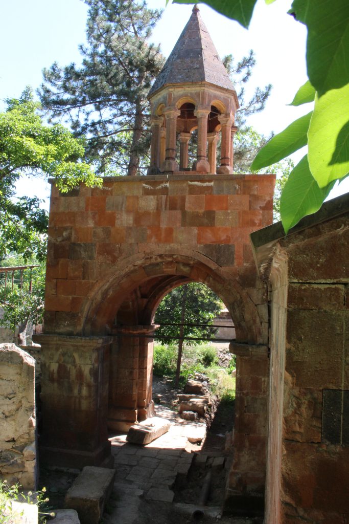
The main church in the village, Surb Hakob, was the primary focus of our visit. This large church was built in 1840. A small inscription above the top right side of the entrance memorializes the destruction of the village of Akori, an Armenian village high up on the slopes of Mt. Ararat, during a devastating earthquake in 1840—the same year the church was built. Below this inscription another disaster is cited: About eight years later, locusts apparently ruined Kamaris’s crops. Over the church’s altar is a large mural, the style heavily influenced by Czarist Russian religious art. The church was renovated around 1980 (during the Soviet era), but needs renovation again. Following independence, renovation of the church began but now remains negligently undone. The wall opposite the altar is bowed out; it is buckling, with large cracks in the masonry near the windows. The interior floor was partially torn up and never repaired. Protecting the structure from water and ice damage remains completely ignored. This structure urgently needs first aid. The villagers we spoke to were very concerned about the church’s survival.
Why was the Destruction of Akori Memorialized Here?
My friend Vova and I were curious about the connection between Akori and Kamaris, as we knew of no other memorial to the Akori disaster in Armenia, or in fact anywhere else.
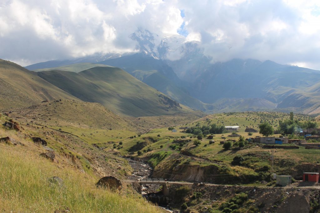
Akori[iv] was an Armenian village on the northeast slope of Mount Ararat, at 1.7 km (a little over a mile) altitude. The village was situated at the bottom of a vertical chasm or cleft, which can be seen from Armenian sites such as Khor Virap on clear, haze-free days. A strong earthquake, estimated to be magnitude seven on the Richter scale, created a huge landslide which buried the village on June 20, 1840.[v].
Tradition has it that when Noah descended from the Arc’s resting place on Mount Ararat, he planted grapevines at a site on the mountain’s slope. It is speculated that the name Akori is derived from the term argh (he planted) and urri (the vine) to signify the site of Noah’s planting.
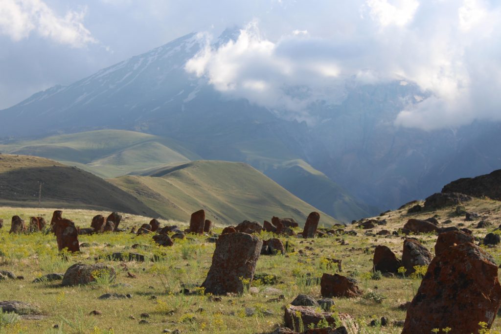
A monastery was established near Akori by Surb Hakob (or Saint James), who became Bishop of Nisibis[vi]. To allay beliefs that the story of the Arc was mere legend, sometime around 300 AD Surb Hakob made a number of attempts to ascend Mount Ararat and retrieve a piece of wood from the Arc. During each ascent, Surb Hakob would lay down to rest, but would wake up below his resting place. Finally, he had a vision or dream in which he was told that access to the Arc is forbidden, but that he would be given a piece of wood from it. Nearby ,he found the piece of wood. In 341, he founded a monastery at the site, a few kilometers from Akori. The monastery became the monastery of Surb Hakob of Nisibis. There may have also been a church within the village of Akori. It is said that the monastery is at the site where Noah built an altar after the Arc came to rest.
Notes
[i] Kamaris was named Gyamrez until 1978.
[ii] Tamerlane ruled his empire from 1370 to 1405.
[iii] Tonradoun is a tonir (tandour) house or bakery.
[iv] The name is sometimes written Akhury, Akuri, or Arguri.
[v] At least one source says July 1840.
[vi] Nisibis is the present-day city of Nusaybin, in S.E. Turkey; in Armenian, Mtsbin.


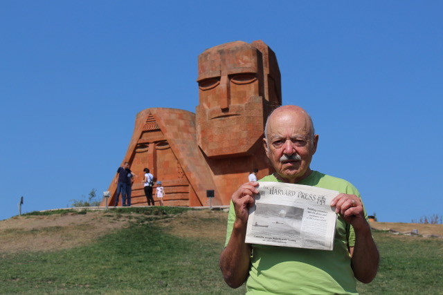
The only thing i can say is i wish one day go and visit this beautiful country, God bless Armenia and armenian people!!
How far is Akori from Kamaris?
Can one see Mt Ararat from Kamaris? The northeast slope where Akori was located?
Your comment is uplifting Juan – thank you for the kind words.
We have so much History, being one of the most ancient nations in the cradle of civilizations, and yet we are the forgotten people.
Interested, educated, and well-read folks like yourself and many others I’m sure, will value the grandeur of the Armenian nation and all it has to offer for mankind.
From looking at my map, I estimate Akori is about 60 km from Kamaris. Ararat was not visible from Kamaris.
What is the Akori disaster?
The disaster that hit Akori was an earthquake on Mt. Ararat in 1840 which also created a landslide that destroyed the village. Some thought the earthquake was in reality some sort of volcanic eruption.
I have been in Akori for many times. There are 103 khackarsright now but ubfortunatly nothing safed from Sb.Hakob monastery.